ST. GEORGE — Recent storms across the region and state have left Washington County’s chief water manager with a positive outlook for the future – provided it keeps up, that is.

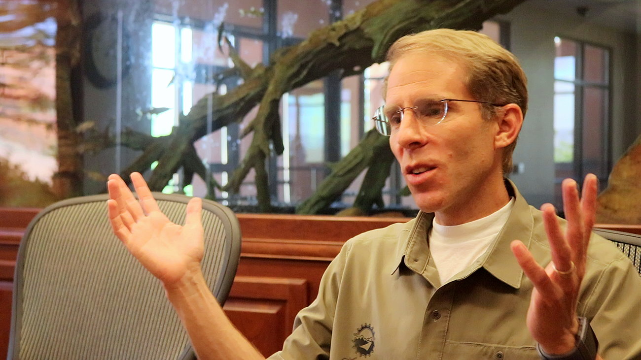
“With this recent storm events, we’re positive we are actually putting in quite a bit of water into the reservoirs,” Zach Renstrom, general manager of the Washington County Water Conservancy District told St. George News earlier this week.
The ground outside the water district’s building was still wet from one of the recent downpours and was forecasted to be drenched again during the second half of the week.
Much of the Western United States was hit with rain and snow in the final weeks of December and into the new year.
“These storms have been so huge and so vast,” Renstrom said. “Areas of extreme drought from California to Colorado are now getting saturated.”
The storms also have been what Renstrom calls “soaker storms” that drench the ground and are consistent rather than violent, short-lived downpours that don’t have as much benefit to them.
Rainstorms also bring the added benefit of people using less water for outdoor watering, which helps prolong the county’s water supply. Up to 60% of the drinking-quality water used in Washington County and the state overall is applied to landscaping, which is a trend water managers want to reserve through the promotion of xeriscaping and turf-removal rebate programs
While St. George has received rain, higher evaluations received much-coveted snow that will eventually flows in the Santa Clara and Virgin Rivers as it melts, This will ultimately help refill the county’s reservoirs. Around 95% of Utah’s water supply comes from snowpack runoff into its reservoirs. So the more snow up the mountains there is, and the longer is stays and it added to before melting, the better.
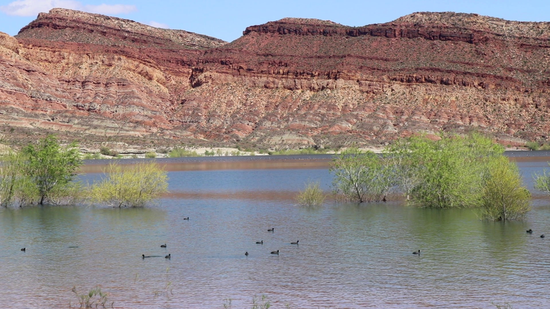
Washington County’s own reservoir storage currently sits at around 60%, according to the water district’s website.

On Wednesday, the snowpack total for Southwest Utah was over 170% above normal for this time of year, according to the USDA’s National Resources Conservation Service. By the end of Thursday, the NRCS reported it was up to 191% above normal following a second round of rainfall.
“We’re seeing signs that we have not had this good of a snowpack for years and years,” Renstrom said. “The key is for these storms to keep coming through.”
It’s easy to be happy about the high amount of snowpack in Southern Utah’s mountains at this time, the water manager said, but the reported totals are for that specific point in time compared with what it’s been in previous years for the same period. It is not a shot of the overall picture, he said.
The overall average for the region’s snowpack for now is much closer to 60-80%, Renstrom said.
“Just to break even for the year, we still need some storms to come through for the remaining part of the (water) year,” he said.
The water year runs from Oct. 1-Sept. 30 with the previous water year’s data being used to predict what may unfold in the coming year.
If the storms continue – and Renstrom repeatedly stated he hoped they do – the snowpack they create could go a long way to putting more water into the Virgin River basin, as well as the Colorado River and Great Salt Lake. Of course, to really see a benefit in these areas and overcome the ongoing drought, there need to be multiple years of consistent storms that result in consistent, above-average levels of mountaintop snow.
“To recover from the drought we are in, the Western United States would need to go back to 1983, to those massive flood events,” Renstrom said. “We almost need a couple years of that to get the Colorado River, the Great Salt Lake, and even in this area, to get our aquifers back and recharged.”
The next few months leading up to April will be critical as that is the time when snowpack in Utah typically peaks and begins to melt into runoff.
The weather could completely turn around and obliterate the current snowpack numbers with rising temperatures and warm rainfall, Renstrom added. He pointed to the 2021-22 winter season when December storms produced much-needed snowpack, only for it to be melted away all too soon by warmer weather and a dearth of additional rains.
According to a three-month forecast from the National Weather Service’s Climate Prediction Center, while central and northern Utah have “equal changes” of either above or below-average precipitation between January and March, Southern Utah sits in the “learning below normal” average by 33-40%.
“I don’t know what tomorrow is going to bring,” Renstrom said as he referred to the long-view of the area’s water conditions.
If the weather turns to the warmer side at a rapid pace, it could create a flooding event similar to what took place in 2005. While the county has beefed up its flood control efforts since, Renstrom said he hopes that does not happen again. The runoff that results in such flooding can’t be used by the water district for refilling its reservoirs due to the mix of mud and debris it creates on the way down.
Overall, Renstrom said he is optimistic for the remainder of the water year with the caveat that the storms need to continue. If the weather doesn’t continue to favor an increasing snowpack, it may not be long before the water district returns to stressing messages of water conservation, he said.
Copyright St. George News, SaintGeorgeUtah.com LLC, 2023, all rights reserved.