ST. GEORGE — Traffic is clogging up Springdale roads, city officials say, and the town is seeking ways to reduce it. The town is developing the Downtown Circulation and Active Transportation plan. Springdale recently surveyed residents and is compiling the results. Springdale also conducted a transportation study by Fehr & Peers, a civil engineering firm.
“If we could reduce the number of private vehicles by getting more people onto shuttles or bicycles, it would be a win for the residents,” Barbara Bruno, mayor of Springdale, said. “My biggest transportation challenge is getting through town on our only thoroughfare when there is so much visitor traffic.”
She said the speed limit varies from 40 to 30 miles per hour approaching Zion National Park, but traffic rarely moves at that rate.
“More often, the line of traffic is moving at 15 to 20 mph and coming to a complete standstill,” Bruno said.
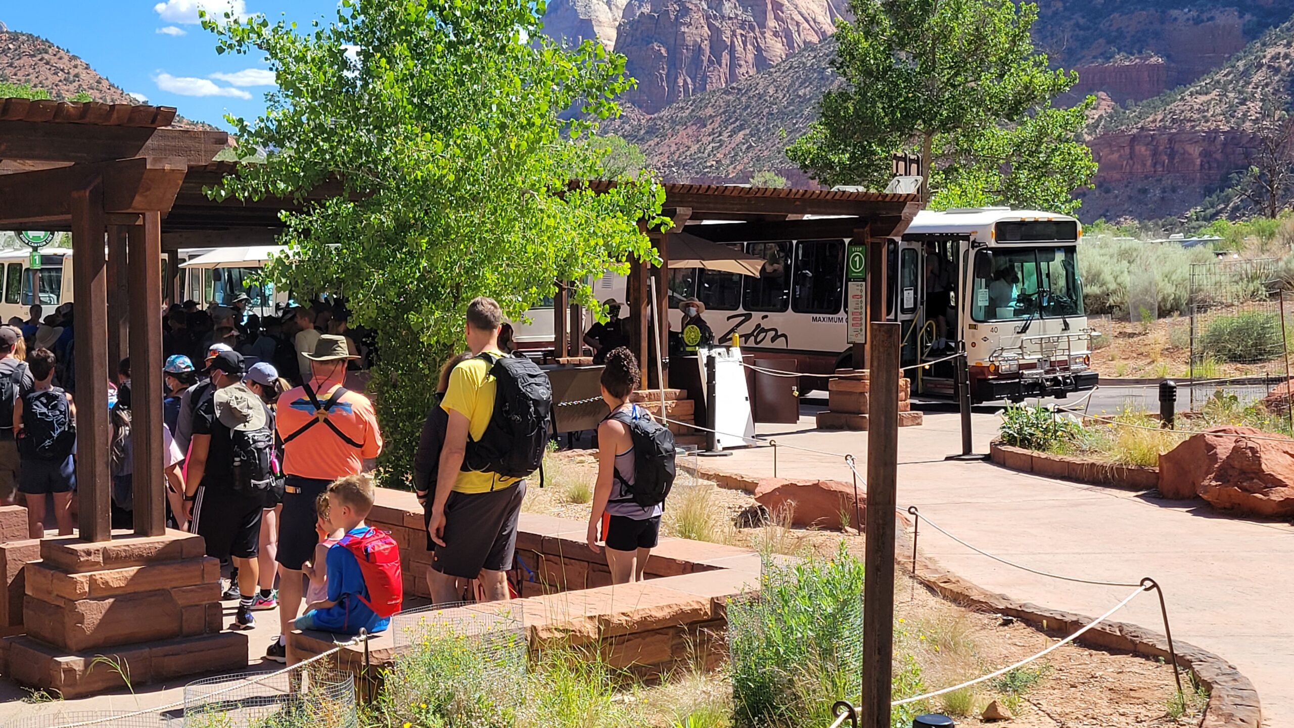
The mayor said the situation is getting so severe that residents living near a shuttle stop often leave their vehicles at home and they ride shuttles, adding that Springdale is working to improve mobility and safety for walking, bicycling, taking the shuttle, and driving.
Bruno asks those visiting for the day to use one of the city parking lots to help ease traffic. There is public parking on Lion Boulevard for all-day visits, but she said those spots fill up fast. There is paid roadside parking on SR-9.

“Washington County owns property outside of Rockville. They are ready and willing to develop a parking lot there,” Bruno said. “Visitors could board a shuttle or get on a bike there and travel through Springdale without their vehicle.”
Tourists that stay in the town’s hotels and transient lodging units can also contribute to the solution. Bruno said they could park their vehicle at their lodging and walk, bike, or ride a shuttle to get around town and into Zion National Park.
“I believe this is how they will have their best experience here,” Bruno said.
The Transportation Plan will address the traffic and parking congestion impacts of increasing visitation to Zion and growing development in Springdale, Tom Dansie, Director of Community Development said.
“As more people come to Springdale to visit the Park, shop, and eat, they bring more vehicle congestion to the town,” Dansie said. “The town has encouraged more people to get around using bikes, and now we are seeing a huge increase in the number of bikes, mostly ebikes, on the street.”
Although more people are moving around without causing vehicle traffic and parking congestion, it still brings issues and impacts to Springdale.
“The Transportation Plan will analyze all these issues and propose short, medium, and long-term solutions to help improve traffic flow and transportation efficiency,” Dansie said.
According to the town’s recent email to residents, the challenges are for all modes of transportation. The Springdale Circulation and Active Transportation Plan will develop strategies to help mitigate the negative impacts of increased traffic in the community, the email stated.
The Springdale Circulation and Active Transportation Plan outline the top five conflict zones as follows:
- Zion Canyon Lodge
- Winderland Lane
- Canyon Springs Rd & Sage Lane
- Desert Pearl Restaurant
- Hampton Inn/Visitor Center
Solutions proposed by this plan the town’s council will consider in the future include ten options, including crosswalk enhancements that would increase the visibility of pedestrian crossings and encourage drivers to slow down. The recommendation is to install flashing beacons to encourage motorists to yield to pedestrians and bicyclists crossing. These flashing beacons also reduce the threat of rear-end crashes for motorists. They communicate with approaching motorists that a pedestrian is attempting to cross. There are eight crosswalks currently along the SR-9 study corridor in Springdale.
Conflict striping is another proposed plan which alerts drivers to be aware of people on bicycles and increases the visibility of conflict points between turning vehicles and people on bikes. The plan advises using green paint to highlight high-priority conflict zones between people on bicycles and turning cars at driveways, shuttle stops, and other conflict points.
Then a mobility hub/satellite parking area that provides visitors with multiple ways to reach Springdale and other destinations. The plan recommends that the county-owned area in Rockville be the hub. By diverting visitors before they enter Springdale, traffic and congestion in town can be reduced, the study found.
The plan states another benefit of the parking area is for large freight vehicles to offload goods. Then they transfer the items to smaller delivery vehicles, reducing the impact of freight vehicles in town.
For more information on the plan, contact the town’s offices at [email protected]
Copyright St. George News, SaintGeorgeUtah.com LLC, 2022, all rights reserved.