ST. GEORGE — The Bureau of Land Management announced Tuesday in a press release the implementation of new technology to provide an improved lottery experience for The Wave.

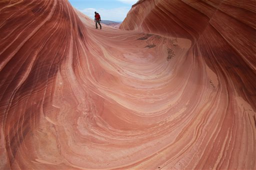
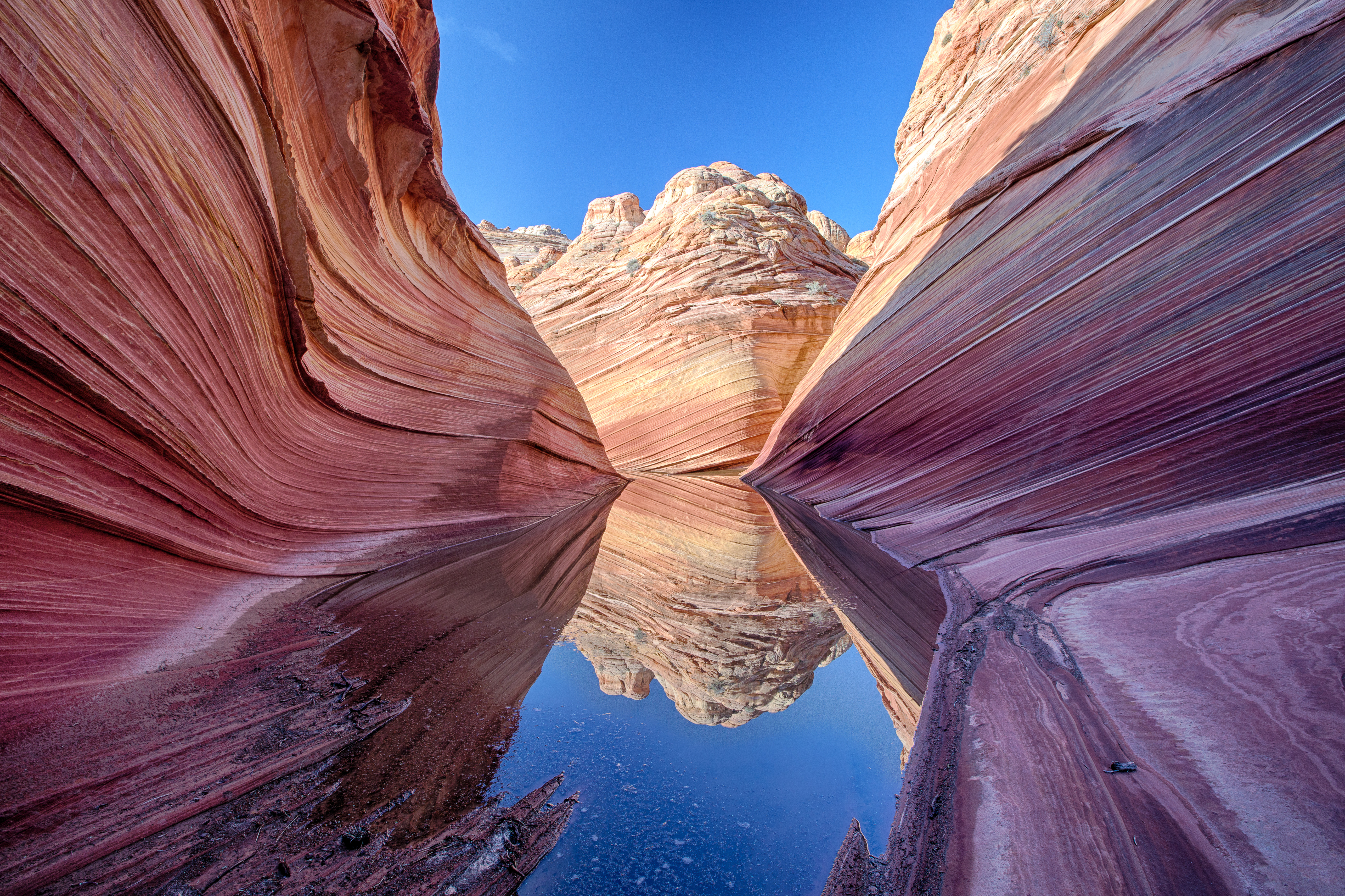
On March 15, the BLM will implement a new mobile-based geofence system for obtaining daily lottery permits to hike at the geologic feature known as “The Wave,” within Coyote Buttes North, Paria Canyon-Vermilion Cliffs Wilderness.
According to the news release, the BLM is implementing this technology to provide a safer and more convenient lottery experience, marking a new milestone for how hiking permits to this iconic recreation site will be selected, distributed and processed.
“This is an exciting change for BLM managers in both Arizona and Utah,” Kanab Field Office Manager Whit Bunting said in the press release. “Over the last two years, BLM Utah and BLM Arizona have worked alongside city and county officials in both states to increase recreational opportunities and visitor access to The Wave. This geofence transition is another important customer-service step in that direction.”
The mobile geofence system, hosted by this website, allows for applicants to use the location-based service to apply for a permit to hike The Wave from their cell phone or other location-enabled mobile devices, while maintaining elements of the legacy “walk-in” system. Permits will only be available to those persons using the system within intentionally set geographic boundaries.
This new system will provide a safer and more convenient process than the in-person lottery system, where hundreds of hopeful lottery applicants would wait in a designated facility, the release states. The current advanced online lottery system, which requires applicants to apply four months in advance, will still exist.
“The BLM recognizes that local economies are closely tied to public lands, and are committed to promoting opportunities for economic development, recreation access, and conservation stewardship,” Arizona Strip District Manager Michael Herder said in the news release.
Paria River District Manager Harry Barber added that additional gateway communities will benefit economically as the new system will expand the permit application area and will provide visitors with additional options to pick up permits and enjoy overnight stays for the next day’s trip in several communities.
“Likewise, the current advanced online lottery system will still be available for applicants who do not own a smartphone,” Barber said.
It is important for visitors to install the Recreation.gov mobile app in an area where they have service coverage, so they can then be ready to apply for the lottery when it is available. Upon successful submission of an application for a permit within the designated geofence area, applicants are then free to explore in the communities and on public lands and will continue to receive notifications (service allowing).
Recreation.gov Program Manager Rick DeLappe said this is the first area to use the geofence service, adding that they are “thrilled to work with the BLM to roll this out to their visitors.”
Applicants do not need to remain inside the geofence perimeter to receive notifications. However, successful applicants will be required to pick up permits within an allotted time at either of the permitting offices located in Kanab, Utah and Page, Arizona, at which time applicants will receive a required safety brief.
The BLM collaborated with the city of Page and Coconino County, Arizona, as well as with Kanab City and Kane County, Utah, regarding the locations of the geofence boundary.
The geofence area will include the following towns or communities in Arizona: Page, Greenhaven, Marble Canyon, Vermilion Cliffs, Jacob Lake, White Sage, Fredonia, Moccasin and the Kaibab Paiute Indian Reservation. The geofence area will include the following towns or communities in Utah: Big Water, Paria, Johnson Canyon, Kanab, Mt. Carmel, Orderville, Glendale and East Zion.
For additional information, please visit the BLM webpage.
Copyright St. George News, SaintGeorgeUtah.com LLC, 2022, all rights reserved.