ST. GEORGE — A small earthquake occurred Friday morning 6 miles west of Panguitch near the border of Garfield and Iron counties.
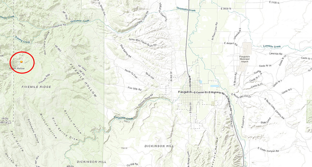
The 3.0 magnitude earthquake was reported by the U.S. Geological Survey around 6:40 a.m. in an area along the Indian Hollow Trial.
Shaking from a 3.0-scale quake is characterized by the USGS as being weak-to-light, and is “felt quite noticeably by persons indoors, especially on upper floors of buildings. Many people do not recognize it as an earthquake. Standing motor cars may rock slightly. Vibration similar to the passing of a truck.”
While one person reported to the USGS’ “Did you feel it?” that they felt the quake, the Garfield County Sheriff’s Office told St. George News it had not received any calls from area residents concerning the event.
Approximately 700 earthquakes and their aftershocks occur throughout Utah annually, with only some 2% ever being felt, according to the University of Utah. The university also states that earthquakes can occur anywhere in the state of Utah and “an average of about 13 earthquakes of magnitude 3.0 or larger occur in the region every year.”
Copyright St. George News, SaintGeorgeUtah.com LLC, 2021, all rights reserved.