ST. GEORGE — County wildlife officials will soon be engaged in a series of surveys in order to gain a better understanding of where the Mojave desert tortoise is – and is not – residing in Washington County.

The last time this type of surveying was conducted was in the early 1990s.
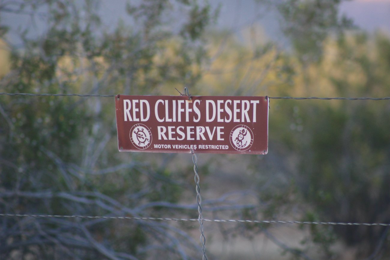
“As a part of the amended HCP (habitat conservation plan), Washington County agreed to perform number of absence-presence surveys on many of the private lands throughout the county,” Cameron Rognan, administrator of the Red Cliffs Desert Reserve, told the Washington County Habitat Conservation Advisory Committee during its March 23 meeting.
The habitat conservation plan, which outlines management of the desert reserve and focuses on the preservation of the threatened Mojave desert tortoise, was originally created in 1996. The federal permit allowing for the creation of the conservation plan and accompanying ability to remove tortoises from various parts of the county and place them within the reserve expired in 2016.
A new, amended plan was eventually approved by federal lands and wildlife agencies earlier this year and renewed for another 25 years. As Rognan told the committee, a requirement of the renewed plan includes a new round of surveys to determine where the desert tortoise population may have spread out over the last 25 years.

The previous survey helped determine where the primary densities of tortoises were at the time, which helped designate the boundaries of the desert reserve, as well as associated “take areas” where tortoises outside the reserve were likely to be found.
Since then, a number of additional surveys have taken place, with the most significant occurring in the area now known as Zone 6 – a recent 6,800-acre addition to the reserve.
“The Zone 6 surveys are notable, because that’s an area where we thought there were fewer tortoises, but there ended up being quite a bit more out there,” Rognan said, adding that the rest of the county reflected prior expectations of where the tortoise was expected to be found or not to be found.
Some areas within the county haven’t been surveyed in years or haven’t undergone a formal tortoise survey to start with, leaving their current status unknown as far as tortoise occupation levels.

Rognan said that since so much time has passed since the original survey, the county “felt it was prudent to update these and get newer information since it is possible that tortoise distribution in presence-absence status has changed over the past 20-25 years.”
In addition to learning how the desert tortoise population within the county has distributed itself over the last two decades, the survey findings will also help “revise the HCP tortoise clearance protocols using new and historical information to maximize the number of tortoises salvaged through the county’s tortoise removal program.”
The new surveys will primarily focus on private land.
While Rognan said he didn’t anticipate there being any issues with large landowners and developers like the Utah State Institutional and Trust Lands Administration, also commonly known as SITLA, smaller landowners and developers may not be so open to having people on their land looking for signs of desert tortoises.
In such cases, Rognan said surveyors will most likely compare the landowner’s property to surrounding parcels that have already been checked for tortoises and make a determination based on those findings.
Ivins Mayor Chris Hart, who sits on the advisory committee and also represents developer interest, suggested the surveys could be promoted as a “preemptive move” for landowners who want to develop their property in the future. Getting the survey done early will help take time off development in the future if checks for tortoises are already a requirement for new construction where applicable.
“You (developers) might want to get a jump on that taking place on your land so its not so much of a delay later on,” Hart said.
Delays are a real possibility, Rognan added, as the tortoises can only be removed in the spring and fall.
As the overall survey area consist of nearly 63,000 acres, Rognan estimated between 10,000 and 15,000 could be surveyed each year till 2026 when the survey results are due.
“I think we could do that in three to four years if we can get some assistance from the DWR (Utah Division of Wildlife Resources),” he said.
Rognan’s staff needed the approval of the advisory committee to move forward on the new surveys, which was granted in a unanimous vote.
Copyright St. George News, SaintGeorgeUtah.com LLC, 2021, all rights reserved.