ST. GEORGE — The National Weather Service issued a flash flood watch Monday for Southern Utah. The watch is effective through midnight.
“A plume of subtropical moisture will bring a period of heavy rainfall to locations across southern Utah,” according the weather service. “Scattered showers and thunderstorms this afternoon will become more numerous in coverage this evening.”
A flash flood watch means that conditions may develop that lead to flash flooding.
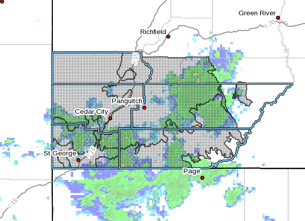
The flash flood watch encompasses south-central and southwest Utah, the southern mountains mainly south of Bryce Canyon, as well as Utah’s Dixie and Zion National Park.
Flash flooding is possible near burn scars, slot canyons, steep terrain and urban areas with poor drainage. Streams and rivers may see rises and normally dry washes will run. Many unpaved surfaces may not be passable due to muddy conditions.
Those planning to engage in outdoor activities should keep an eye on the weather forecast and make contingency plans.
Rising temperatures and rain are also causing what remains of the snow on Pine Valley Mountain and other high elevations to rapidly melt and contribute to high water levels in area rivers.
Read more: Accelerating snowmelt, forecast of heavy rains prompt warning about Southern Utah waterways
“With rain in the forecast and the rivers and streams running fairly full we caution the community to avoid these areas,” Jason Whipple, Washington County Emergency Services director, said Monday in a social media post.
“The water is running swift and cold. It looks inviting for tubing and kayaking but we suggest to stay out of the water. If water is running over the roads avoid driving through it. It is hard to tell if the water has washed out the road. Be careful out there.”
Email: [email protected]
Twitter: @MoriKessler
Copyright St. George News, SaintGeorgeUtah.com LLC, 2019, all rights reserved.