ST. GEORGE — Southern Utah is in store for a week of hazardous weather, starting with gusty, dry conditions ripe for fire potential Sunday and transitioning into a wet week with flash flood potential beginning Monday.
The National Weather Service’s red flag warning remains in effect into Sunday evening as gusty southwesterly winds combine with a dry air mass to produce critical fire weather conditions. The dry conditions will be abruptly followed Monday by a forecast of heavy rains as tropical moisture from Hurricane Rosa spreads north from Baja California.
Read more: Moisture from Hurricane Rosa bringing high possibility of flooding to Southern Utah
The rains are forecast to spread from Southern Utah into northern Utah and southwest Wyoming late Monday night into Tuesday, with moisture and rain potential expected to linger through the week. The rainy forecast has prompted the National Weather Service to issue a flash flood watch, covering an area stretching from the northern Wasatch Front down through most of Southern Utah.
Flash flood watch
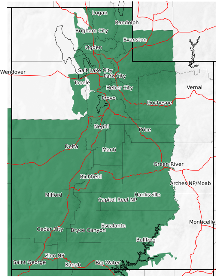
The Flash flood watch goes into effect 3 p.m. Monday through 4 a.m. Wednesday. In Southern Utah, areas affected include Washington, Kane, Iron, Beaver and Garfield counties, including the cities of St. George, Cedar City, Kanab, Beaver, Escalante, Milford, Loa, Panguitch and Bryce Canyon.
Areas particularly prone to flash flooding include burn scars, slot canyons, normally dry washes, low water crossings and urban areas with poor drainage. Ponding on roadways and street flooding and urban areas will also be possible. Water can rise quickly downstream of heavy rain, even when the rain is many miles away. Rock and mud slides, as well as water flowing across roadways, will be possible and could locally impact travel.
Precautions
Flash flooding is a very dangerous situation. The public should monitor the latest forecasts and be prepared to take action.
Turn around. Don’t drown.
The National Oceanic and Atmospheric Association and the National Weather Service offer the following safety rules for flash flooding:
- Flash flood waves, moving at incredible speeds, can roll boulders, tear out trees, destroy buildings and bridges and scour out new channels. Killing walls of water can reach heights of 10 to 20 feet. You will not always have warning that these deadly, sudden floods are coming. When a flash flood warning is issued for your area or the moment you first realize that a flash flood is imminent, act quickly to save yourself. You may have only seconds.
- Most flood deaths occur in automobiles. Do not drive your vehicle into areas where the water covers the roadway. Flood waters are usually deeper than they appear. The road bed may not be intact under the water. Just one foot of flowing water is powerful enough to sweep vehicles off the road. If the vehicle stalls, abandon it immediately and seek higher ground. Rapidly rising water may engulf the vehicle and its occupants and sweep them away.
- Do not hike rivers and especially slot canyons while flash flood warnings are in place.
- Do not hike alone and always tell someone where you and your buddy and others are going.
- Get out of areas subject to flooding, including dips, low spots, canyons and washes.
- Avoid already flooded and high velocity flow areas. Do not try to cross a flowing stream on foot where water is above your knees.
- Be especially cautious at night when it is harder to recognize flood dangers.
- Do not camp or park your vehicle along streams and washes, particularly during threatening conditions.
During any flood emergency, stay tuned to your NOAA weather radio, commercial radio or television, follow St. George News at STGnews.com and St. George News Facebook for weather alerts and updates relevant to Southern Utah. Information from the National Weather Service and disaster and emergency services may save your life.
Email: [email protected]
Twitter: @STGnews
Copyright St. George News, SaintGeorgeUtah.com LLC, 2018, all rights reserved.