SOUTHERN UTAH — The National Weather Service has issued a “Hazardous Weather Outlook” and a “High Wind Warning” for the western two-thirds of Utah and southwest Wyoming.
Hazardous Weather Outlook
Affected areas
Cache Valley / Utah portion, northern Wasatch Front, Salt Lake / Tooele valleys, southern Wasatch Front, Great Salt Lake desert and mountains, Wasatch mountains south of Interstate 80, central Utah, Glen Canyon Recreation Area / Lake Powell, central mountains, southern mountains, southwest Wyoming
Timing
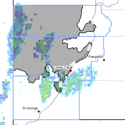
Beginning Saturday, a cold front advancing on western Utah will maintain strong southerly winds across much of Utah. Numerous wind advisories and high wind warnings are in effect through Saturday evening. Isolated showers and thunderstorms ahead of the cold front will increase rapidly in both areal coverage and intensity as the front sweep east across the state. The strongest showers and thunderstorms will develop across west-central Utah Saturday morning, then move into northern Utah in the afternoon. Lowering snow levels will quickly turn rain to snow at the higher elevations this afternoon and through the overnight hours.
Cold and unsettled conditions will exist across the outlook area through Sunday. Accumulating snow will continue across the higher elevations through Sunday night. Significant snow accumulations on the higher valleys is not expected, though a dusting of snow is possible.
Cold and unsettled weather with showery precipitation will continue across the outlook Monday. High pressure aloft will return beginning Tuesday. The high pressure will produce a warming trend with dry conditions through the end of the week.
High Wind Warning
Affected area includes southwest Utah.
Timing
South to southeasterly winds are expected to become strong early Saturday morning and continue through the day with gusts in excess of 60 miles per hour. Winds will diminish late in the day and then drop off around 10 p.m. Saturday.
Impacts
Strong cross winds will create hazardous driving conditions for high-profile vehicles across west to east oriented routes throughout the day. Reduced visibility is possible in blowing dust. Light weight loose items may become airborne and wind sensitive operations will be affected.
Precautionary/ preparedness actions
A high wind warning means a hazardous high wind event is expected or is occurring. Sustained wind speeds of at least 40 miles per hour or gusts of 58 miles per hour or more can lead to property damage. Vehicles, especially high-profile vehicles, can be difficult to control at times in high winds. Motorists should take extra caution, especially while crossing bridges, overpasses and unsheltered areas.
Resources
For more information on weather conditions visit the National Weather Service website or for information regarding potential road travel impacts visit Utah Department of Transportation’s website.
Related posts
- Washington City flooding; resident asks who’s going to fix the city’s mess?
- St. George Library floods for 3rd time after heavy rains
- News LIVE: Storm hits Washington, homes flooded; STGnews Photo Gallery
Email: [email protected]
Twitter: @STGnews
Copyright St. George News, SaintGeorgeUtah.com LLC, 2014, all rights reserved.