SOUTHERN UTAH The National Weather Service in Salt Lake City has issued a “Winter Weather Advisory” for snow and blowing snow in the mountains of Utah.
The advisory is in effect from midnight Friday to 10 p.m. Saturday.
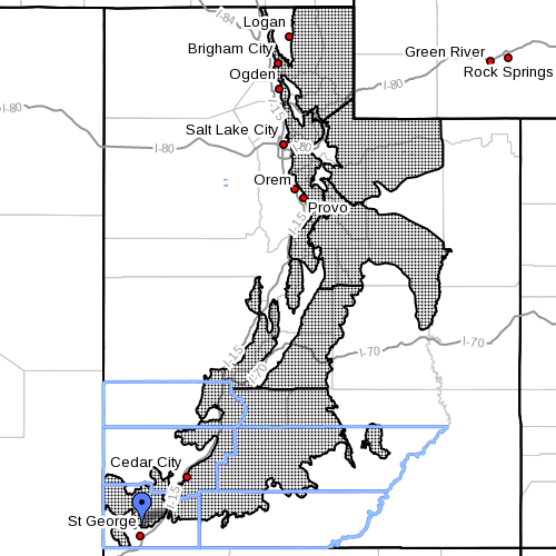
Affected areas – Interstate 80, the western Uinta Mountains, Wasatch Plateau-Book Cliffs, central and southern mountains, including the cities of Woodruff, Randolph, Alta, Brighton, Mirror Lake Highway, Scofield, Cove Fort Koosharem, Fish Lake, Loa, Panguitch and Bryce Canyon.
Snow accumulations and levels – New snowfall of 2-6 inches is expected mainly above about 7,000 feet. Greater amounts are possible at the higher elevations. Snow levels will start around 9,000 feet Saturday morning then fall to around 6,500 feet by Saturday evening.
Winds
Southwest wind gusts in excess of 60 miles per hour are forecasted to develop tonight and continue until Saturday evening.
Impacts
This early season storm system is expected to bring a combination of strong wind and accumulating snowfall to Utah mountains. While the strong winds will begin tonight, the snow is not expected to develop until later Saturday. Blowing snow may cause reduced visibility by Saturday afternoon and evening. Snow may accumulate on high elevation roads causing slush to develop especially on seasonal high-elevation passes that have not been closed yet.
Precautionary/ preparedness actions
A winter weather advisory means that visibilities will be limited due to a combination of falling and blowing snow. Use caution when traveling especially in open areas.
Resources
For winter road conditions from the Utah Department of Transportation visit their website here or dial 511.
Related posts
- State agency seeks representative for OHV advisory council
- Wind Advisory forecasts 25-35 mph winds, 50 mph gusts
- Explore: Hauntings at Overland Hotel & Saloon in Pioche
Email: [email protected]
Twitter: @STGnews
Copyright St. George News, SaintGeorgeUtah.com LLC, 2014, all rights reserved.