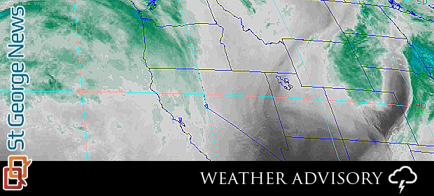
SOUTHERN UTAH – The National Weather Service has issued a “Special Weather Statement” forecasting winter weather conditions throughout Utah for the weekend.

Utah weather will be turning much colder with wintry conditions developing Friday through the weekend. The warm and dry conditions of the past several days will come to an end beginning on Friday.
First cold storm system
The first of two cold storm systems moving south out of western Canada will reach northern and central Utah on Friday. Much colder air following a surface cold front south through the state will drive temperatures down around 10-15 degrees from Thursday’s highs across the north.
South of the front, windy conditions and still warm temperatures will exist Friday afternoon.
Rain and snow will develop across the northern and central valleys though little accumulating snow is expected. The northern and central mountains will receive accumulating snows, with the southern Wasatch and central mountain ranges picking up the greatest accumulations.
A moist and cold westerly flow aloft trailing this first storm will maintain precipitation across the northern third of Utah Friday night through Saturday. Several inches of accumulating snow are possible across the northern Wasatch range with a rain and snow mix in the valleys. A couple of inches of accumulations are possible in the valleys near the Idaho border through Saturday morning.
Second cold storm system
A second colder storm system will reach Utah by Saturday evening. This second system will concentrate on the northern half of Utah Saturday night with the potential for significant snow accumulations in both the mountains and adjacent valleys.
Temperatures will drop further across the entire state, with most areas of the state ending up wll below tyipical mid-November readings. Showery precipitation will linger across the north Sunday. A brief period of “lake effect” snows are possible southeast of the Great Salt Lake Sunday morning. Showers will end across the entire area Sunday afternoon. Cold temperatures will remain in place heading early next week.
Affected areas
Cache Valley/Utah portion – northern Wasatch Front – Salt Lake And Tooele valleys -southern Wasatch Front – Great Salt Lake desert and mountains -Wasatch Mountain valleys- Wasatch mountains Interstate 80 north – Wasatch mountains south of I-80- western Uinta mountains – Wasatch Plateau/Book Cliffs – western Uinta Basin – Castle Country – San Rafael Swell – Sanpete/Sevier valleys – west-central Utah – southwest Utah – Utah’s Dixie and Zion National Park – south-central Utah – Glen Canyon Recreation Area/Lake Powell – central mountains – southern mountains – southwest Wyoming.
Precautionary/preparedness actions
Winter weather may cause travel difficulties. Always be prepared for snow-covered roads. Use caution while driving.
For road conditions from the Utah Department of Transportation:
- Visit UDOT road weather alerts for Southern Utah (none issued at time of publication)
- Visit UDOT’s road weather alerts
- Visit UDOT’s current road conditions
- Obtain UDOT’s smartphone travel app.
Email: [email protected]
Twitter: @STGnews
Copyright St. George News, SaintGeorgeUtah.com LLC, 2013, all rights reserved.