UPDATE: March 9, 2013, 2:31 p.m. The National Weather Service has cancelled this winter storm warning.
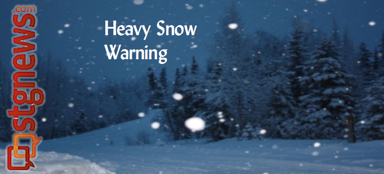
UTAH – The National weather service has issued a winter storm warning for heavy snow, which is in effect until 11 p.m. Saturday, superseding the earlier advisory.
Affected areas: Southern Utah mountains, including the cities of Loa, Panguitch and Bryce Canyon.
Snow accumulations: Storm total accumulation of 12 to 24 inches with locally higher amounts across the southern and eastern slopes.

Timing: Snow will continue heavy at times this afternoon and evening. The heaviest snowfall is expected overnight tonight and into Saturday morning, gradually diminishing Saturday afternoon and evening.
Winds: Gusty northerly winds are expected over the ridges and across exposed areas on Saturday.
Impacts: Winter driving conditions can be expected across all high elevation routes tonight and Saturday, including summits along Interstate 15 near and south of the Interstate 70 interchange. Visibilities may be reduced Saturday during periods of higher winds.
Precautionary / Preparedness Actions: A winter storm warning means significant accumulations of snow are expected or occurring. Driving conditions may be hazardous. Use caution. Keep a winter storm survival kit in your vehicle in case of emergency.
Resources
Vehicle Preparation and Safety Precautions for Winter Weather
For winter road conditions from the Utah Department of Transportation:
Visit UDOT’s Road Weather Alerts.
Obtain UDOT’s smartphone travel app
Email: [email protected]
Twitter: @STGnews