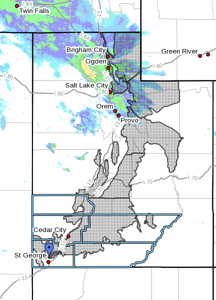
ST. GEORGE — The National Weather Service in Salt Lake City has issued a winter storm warning for heavy snow and strong winds in central and northern Utah. This warning is in effect from 4 p.m. Thursday to 4 a.m. Saturday.
Affected areas
The Wasatch mountains, I-80, the northwestern Uintah mountains, the Wasatch plateau, Book Cliffs and the Central mountains. Cities affected include Woodruff, Randolph, Mirror Lake, Scofield, Cove Fort, Koosharem, Fish Lake, Loa, Panguitch and Bryce Canyon.
Southern Utah
Southern Utah will miss the precipitation, which is not expected to come too much farther south than Bryce Canyon and Panguitch.
Central and Northern Utah
Snow will begin late Thursday afternoon, becoming heavy at times through Friday. Snow accumulations of 12 to 24 inches are possible above 8,000 feet through Friday, then lowering Friday afternoon and evening.
Winds will be gusting west to southwest 30 to 40 mph with gusts in excess of 60 mph at times through Friday morning.
Road conditions
Winter driving conditions can be expected across all mountain routes above 8,000 feet, including the Wolf Creek pass, the Wasatch plateau and state Routes 14 and 143. For more specific information on roads and highways see UDOT’s road weather alert webpage.
Precautions
Snow accumulation may cause travel difficulties. Be prepared for snow covered roads and use caution while driving.
Resources
- UDOT’s Road Weather Alerts
- UDOT’s Current Road Conditions
- UDOT’s smartphone travel app
- Printable/Saveable PDF: Vehicle Preparation and Safety Precautions for Winter Weather.
Email: [email protected]
Twitter: @STGnews | @NewsWayman
Copyright St. George News, SaintGeorgeUtah.com LLC, 2016, all rights reserved.
This is absolutely a fantastic article and I would like to thank all those involved in making this possible so the fine citizens of the Great state of Utah know where and when to travel to